Looking from Capital Ring path to River Brent
Introduction
The photograph on this page of Looking from Capital Ring path to River Brent by Robin Webster as part of the Geograph project.
The Geograph project started in 2005 with the aim of publishing, organising and preserving representative images for every square kilometre of Great Britain, Ireland and the Isle of Man.

There are currently over 7.5m images from over 14,400 individuals and you can help contribute to the project by visiting https://www.geograph.org.uk
Looking from Capital Ring path to River Brent
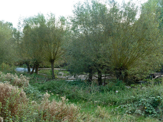
Image: © Robin Webster Taken: 13 Oct 2012
It looked as if the old path, faintly showing in the foreground, had been diverted further away from the river here.
Images are licensed for reuse under creativecommons.org/licenses/by-sa/2.0
Image Location
Latitude
51.524662
Longitude
-0.349216