Map of the West Highland Way
Introduction
The photograph on this page of Map of the West Highland Way by Richard Sutcliffe as part of the Geograph project.
The Geograph project started in 2005 with the aim of publishing, organising and preserving representative images for every square kilometre of Great Britain, Ireland and the Isle of Man.

There are currently over 7.5m images from over 14,400 individuals and you can help contribute to the project by visiting https://www.geograph.org.uk
Map of the West Highland Way
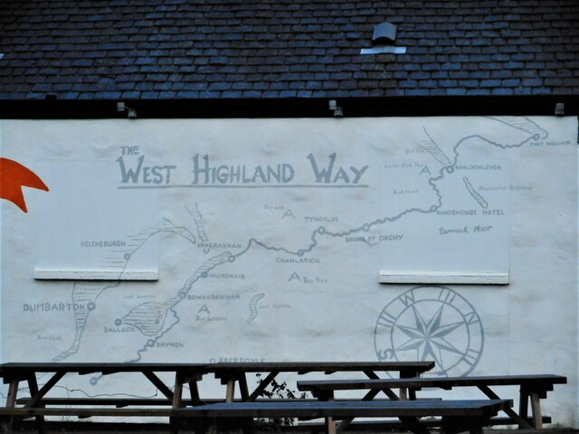
Image: © Richard Sutcliffe Taken: 25 Jan 2023
On the side of the personal fitness gym (a former toilet block) Image on Mugdock Road. The West Highland Way, starts about 100m from here.
Images are licensed for reuse under creativecommons.org/licenses/by-sa/2.0
Image Location
Latitude
55.942347
Longitude
-4.317281