Path on Table Hill
Introduction
The photograph on this page of Path on Table Hill by Philip Halling as part of the Geograph project.
The Geograph project started in 2005 with the aim of publishing, organising and preserving representative images for every square kilometre of Great Britain, Ireland and the Isle of Man.

There are currently over 7.5m images from over 14,400 individuals and you can help contribute to the project by visiting https://www.geograph.org.uk
Path on Table Hill
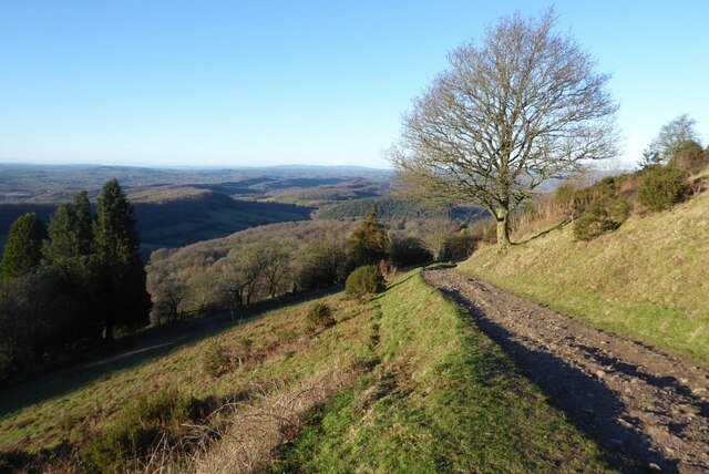
Image: © Philip Halling Taken: 16 Jan 2023
Path on the eastern slopes of Table Hill at the northern end of the Malvern Hills. The Suckley Hills can be seen in the background.
Images are licensed for reuse under creativecommons.org/licenses/by-sa/2.0
Image Location
Latitude
52.114338
Longitude
-2.344448