Common land in Brill
Introduction
The photograph on this page of Common land in Brill by Bill Boaden as part of the Geograph project.
The Geograph project started in 2005 with the aim of publishing, organising and preserving representative images for every square kilometre of Great Britain, Ireland and the Isle of Man.

There are currently over 7.5m images from over 14,400 individuals and you can help contribute to the project by visiting https://www.geograph.org.uk
Common land in Brill
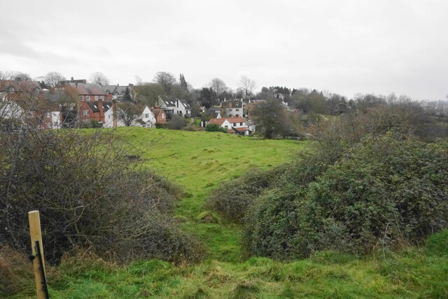
Image: © Bill Boaden Taken: 27 Dec 2022
The village is set on the side of a hill with an area of common land enabling the public to make the most of it.
Images are licensed for reuse under creativecommons.org/licenses/by-sa/2.0
Image Location
Latitude
51.821369
Longitude
-1.055445