Main road at Tyes Cross
Introduction
The photograph on this page of Main road at Tyes Cross by Robin Webster as part of the Geograph project.
The Geograph project started in 2005 with the aim of publishing, organising and preserving representative images for every square kilometre of Great Britain, Ireland and the Isle of Man.

There are currently over 7.5m images from over 14,400 individuals and you can help contribute to the project by visiting https://www.geograph.org.uk
Main road at Tyes Cross
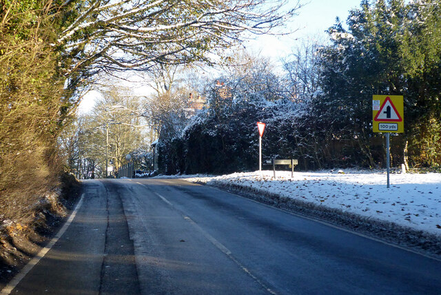
Image: © Robin Webster Taken: 15 Dec 2022
Chilling Street joins from the right, the left turn around the bend is Grinstead Lane. The main road from Sharpthorne up to here is plated as 'Sharpthorne Road also known as Top Road', east from the left turn ahead it is plated 'Plawhatch Lane'.
Images are licensed for reuse under creativecommons.org/licenses/by-sa/2.0
Image Location
Latitude
51.075078
Longitude
-0.027226