Laying new junction at Dore West
Introduction
The photograph on this page of Laying new junction at Dore West by Chris Morgan as part of the Geograph project.
The Geograph project started in 2005 with the aim of publishing, organising and preserving representative images for every square kilometre of Great Britain, Ireland and the Isle of Man.

There are currently over 7.5m images from over 14,400 individuals and you can help contribute to the project by visiting https://www.geograph.org.uk
Laying new junction at Dore West
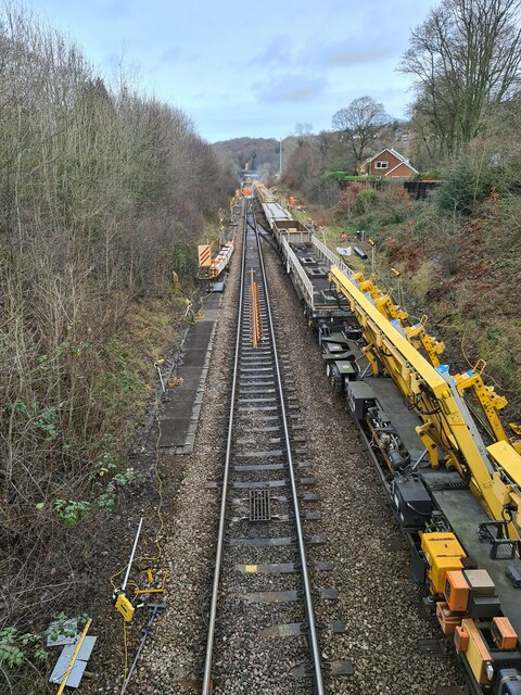
Image: © Chris Morgan Taken: 14 Jan 2023
Part of the Hope Valley Capacity Scheme due to be completed over the next 12-15 months. The junction seen on the right was disconnected below the train last year and is out of service. The new junction will face the opposite way and probably won't be connected for signalling and operational purposes before the late autumn, if all goes to plan.
Images are licensed for reuse under creativecommons.org/licenses/by-sa/2.0
Image Location
Latitude
53.320215
Longitude
-1.52604