Broadbank Way
Introduction
The photograph on this page of Broadbank Way by John Baker as part of the Geograph project.
The Geograph project started in 2005 with the aim of publishing, organising and preserving representative images for every square kilometre of Great Britain, Ireland and the Isle of Man.

There are currently over 7.5m images from over 14,400 individuals and you can help contribute to the project by visiting https://www.geograph.org.uk
Broadbank Way
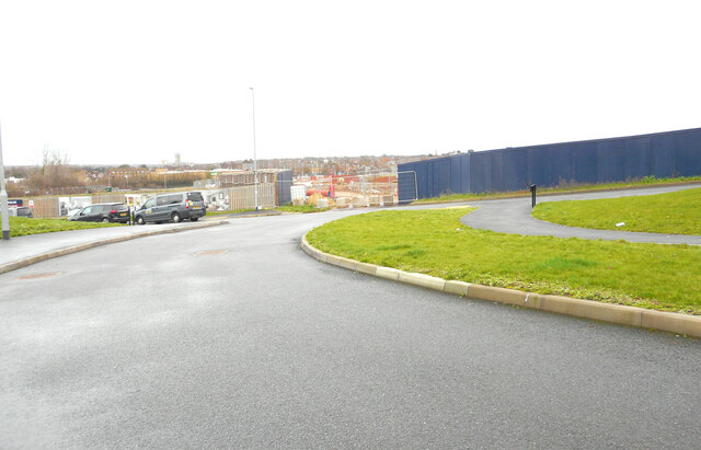
Image: © John Baker Taken: 25 Dec 2022
Part of a development named Saxon Fields for which planning permission has been granted by Canterbury City Council under application number CA//15/01479. The gap, in the hoarding, shows an expansion of the development. Taken during a photographic outing on Christmas Day afternoon.
Images are licensed for reuse under creativecommons.org/licenses/by-sa/2.0
Image Location
Latitude
51.267075
Longitude
1.060362