Ripon, Stonebridgegate
Introduction
The photograph on this page of Ripon, Stonebridgegate by Mel Towler as part of the Geograph project.
The Geograph project started in 2005 with the aim of publishing, organising and preserving representative images for every square kilometre of Great Britain, Ireland and the Isle of Man.

There are currently over 7.5m images from over 14,400 individuals and you can help contribute to the project by visiting https://www.geograph.org.uk
Ripon, Stonebridgegate
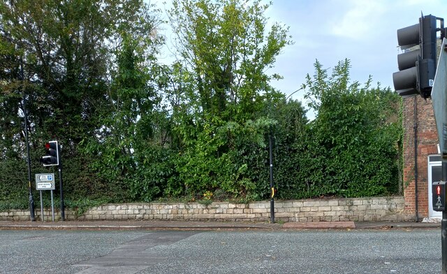
Image: © Mel Towler Taken: 18 Nov 2022
According to the OS benchmark database there is a cutmark on the roadside wall on the west side of Stonebridgegate. This is a revisit and can confirm nothing was found.
Images are licensed for reuse under creativecommons.org/licenses/by-sa/2.0
Image Location


Leaflet Map data © OpenStreetMap
Latitude
54.138914
Longitude
-1.517971