Church Road, Matching
Introduction
The photograph on this page of Church Road, Matching by Robin Webster as part of the Geograph project.
The Geograph project started in 2005 with the aim of publishing, organising and preserving representative images for every square kilometre of Great Britain, Ireland and the Isle of Man.

There are currently over 7.5m images from over 14,400 individuals and you can help contribute to the project by visiting https://www.geograph.org.uk
Church Road, Matching
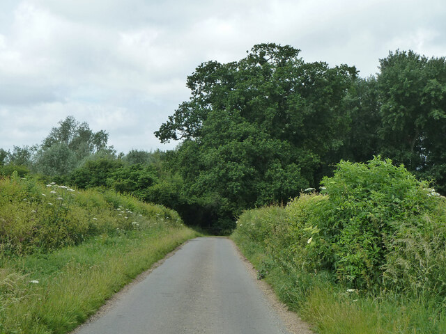
Image: © Robin Webster Taken: 30 Jun 2013
Looking towards a right-angled bend where the lane starts to deviate around Matching Pond. Presumably the lane went straight on before the artificial pond was made in the 19th century, but there is no obvious trace unless there is something in the wood ahead.
Images are licensed for reuse under creativecommons.org/licenses/by-sa/2.0
Image Location
Latitude
51.786163
Longitude
0.213597