Otterden Place
Introduction
The photograph on this page of Otterden Place by pam fray as part of the Geograph project.
The Geograph project started in 2005 with the aim of publishing, organising and preserving representative images for every square kilometre of Great Britain, Ireland and the Isle of Man.

There are currently over 7.5m images from over 14,400 individuals and you can help contribute to the project by visiting https://www.geograph.org.uk
Otterden Place
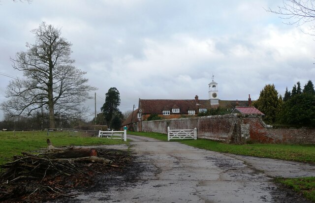
Image: © pam fray Taken: 9 Jan 2023
The track through the gate leads to Hurstwood Road. Otterden Place is an early 17th-century estate with a house and parkland. The park was laid out during the mid-18th century.
Images are licensed for reuse under creativecommons.org/licenses/by-sa/2.0
Image Location
Latitude
51.252927
Longitude
0.787958