Boundary Stone, Hereford
Introduction
The photograph on this page of Boundary Stone, Hereford by Jayne Tovey as part of the Geograph project.
The Geograph project started in 2005 with the aim of publishing, organising and preserving representative images for every square kilometre of Great Britain, Ireland and the Isle of Man.

There are currently over 7.5m images from over 14,400 individuals and you can help contribute to the project by visiting https://www.geograph.org.uk
Boundary Stone, Hereford
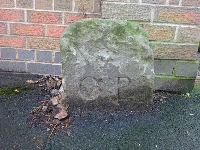
Image: © Jayne Tovey Taken: 6 Jan 2023
On the South side of Ledbury Road, near the rail bridge. Possibly denoting the boundary of the parish of St. Pauls, Tupsley and St. Peter with St. Owen and St. James (church at the end of St. Owen Street). Which might explain the inscriptions. A collection of similar images can be seen at https://www.geograph.org.uk/article/Boundary-Stones-of-the-City-of-Hereford Inscription: O P Milestone Society National ID: HF_HERE04pb
Images are licensed for reuse under creativecommons.org/licenses/by-sa/2.0
Image Location
Latitude
52.05465
Longitude
-2.70239