Ford near Stony How
Introduction
The photograph on this page of Ford near Stony How by Adrian Taylor as part of the Geograph project.
The Geograph project started in 2005 with the aim of publishing, organising and preserving representative images for every square kilometre of Great Britain, Ireland and the Isle of Man.

There are currently over 7.5m images from over 14,400 individuals and you can help contribute to the project by visiting https://www.geograph.org.uk
Ford near Stony How
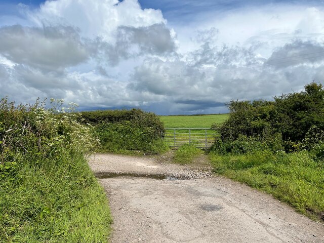
Image: © Adrian Taylor Taken: 31 May 2022
In spite of rain clouds in the background, dry weather has reduced this small ford near Stony How to no more than a trickle. The metalled public highway from the B5344 ends at the ford, continuing only as an unsurfaced access track and public bridleway to Panope and Hallsenna.
Images are licensed for reuse under creativecommons.org/licenses/by-sa/2.0
Image Location
Latitude
54.39149
Longitude
-3.460711