Headingley, Skyrack PH
Introduction
The photograph on this page of Headingley, Skyrack PH by Mel Towler as part of the Geograph project.
The Geograph project started in 2005 with the aim of publishing, organising and preserving representative images for every square kilometre of Great Britain, Ireland and the Isle of Man.

There are currently over 7.5m images from over 14,400 individuals and you can help contribute to the project by visiting https://www.geograph.org.uk
Headingley, Skyrack PH
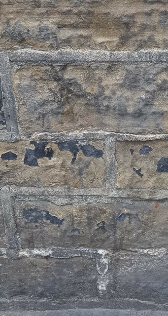
Image: © Mel Towler Taken: 13 Nov 2022
The worn benchmark is cut into the north-east facing wall of the pub. This is the wall which faces onto Headingley Lane. The mark is cut across the 4th and 5th courses.
Images are licensed for reuse under creativecommons.org/licenses/by-sa/2.0
Image Location
Latitude
53.819709
Longitude
-1.576475