Benchmark, Panope
Introduction
The photograph on this page of Benchmark, Panope by Adrian Taylor as part of the Geograph project.
The Geograph project started in 2005 with the aim of publishing, organising and preserving representative images for every square kilometre of Great Britain, Ireland and the Isle of Man.

There are currently over 7.5m images from over 14,400 individuals and you can help contribute to the project by visiting https://www.geograph.org.uk
Benchmark, Panope
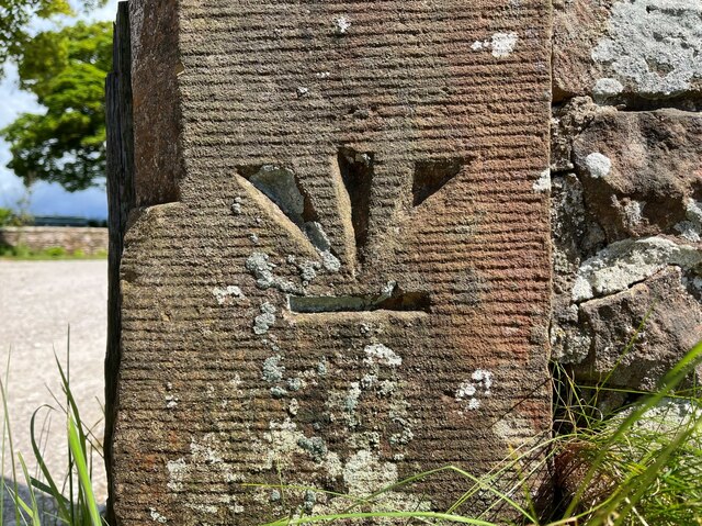
Image: © Adrian Taylor Taken: 31 May 2022
Detail of the inverted Ordnance Survey cut benchmark on a gatepost at Panope (location photograph Image). The benchmark is possibly that indicated on the 1898 revision of the Ordnance Survey map as marking a height of 69.8 feet above mean sea level (Ordnance Datum Newlyn).
Images are licensed for reuse under creativecommons.org/licenses/by-sa/2.0
Image Location
Latitude
54.39654
Longitude
-3.456393