Walking the Portbury Ditch
Introduction
The photograph on this page of Walking the Portbury Ditch by Neil Owen as part of the Geograph project.
The Geograph project started in 2005 with the aim of publishing, organising and preserving representative images for every square kilometre of Great Britain, Ireland and the Isle of Man.

There are currently over 7.5m images from over 14,400 individuals and you can help contribute to the project by visiting https://www.geograph.org.uk
Walking the Portbury Ditch
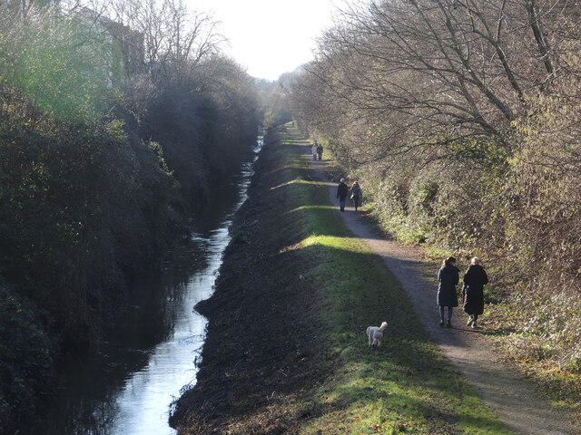
Image: © Neil Owen Taken: 2 Jan 2023
Much of the land to the left (east) of the drainage was untouched for many years, with the water stopping expansion of the old docks. However, it is now part of the large expansion of the town once the old heavy industries departed. A new bridge has brought the homeowners to the marina and also created a popular walking route.
Images are licensed for reuse under creativecommons.org/licenses/by-sa/2.0
Image Location
Latitude
51.488602
Longitude
-2.756955