Cattle Grid, Burblethwaite
Introduction
The photograph on this page of Cattle Grid, Burblethwaite by Adrian Taylor as part of the Geograph project.
The Geograph project started in 2005 with the aim of publishing, organising and preserving representative images for every square kilometre of Great Britain, Ireland and the Isle of Man.

There are currently over 7.5m images from over 14,400 individuals and you can help contribute to the project by visiting https://www.geograph.org.uk
Cattle Grid, Burblethwaite
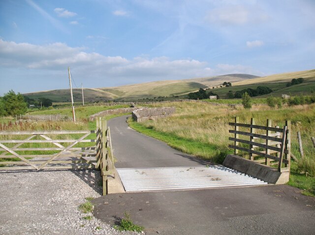
Image: © Adrian Taylor Taken: 16 Aug 2016
The road from Green head to Fell Side crosses this cattle grid on the approach to the bridge over Burblethwaite Beck. This is the low level alternative route of The Cumbria Way long distance path (next photograph Image).
Images are licensed for reuse under creativecommons.org/licenses/by-sa/2.0
Image Location
Latitude
54.723434
Longitude
-3.107014