Cloberfield Open Space
Introduction
The photograph on this page of Cloberfield Open Space by Richard Sutcliffe as part of the Geograph project.
The Geograph project started in 2005 with the aim of publishing, organising and preserving representative images for every square kilometre of Great Britain, Ireland and the Isle of Man.

There are currently over 7.5m images from over 14,400 individuals and you can help contribute to the project by visiting https://www.geograph.org.uk
Cloberfield Open Space
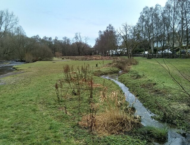
Image: © Richard Sutcliffe Taken: 31 Dec 2022
Following heavy rain a couple of days earlier, the Allander Water (left) is high Image The normally slow-flowing drainage ditch on the right is flowing quickly.
Images are licensed for reuse under creativecommons.org/licenses/by-sa/2.0
Image Location
Latitude
55.946095
Longitude
-4.323431