Newsham with Breckenbrough, estate parkland
Introduction
The photograph on this page of Newsham with Breckenbrough, estate parkland by Mel Towler as part of the Geograph project.
The Geograph project started in 2005 with the aim of publishing, organising and preserving representative images for every square kilometre of Great Britain, Ireland and the Isle of Man.

There are currently over 7.5m images from over 14,400 individuals and you can help contribute to the project by visiting https://www.geograph.org.uk
Newsham with Breckenbrough, estate parkland
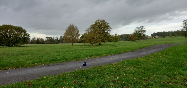
Image: © Mel Towler Taken: 7 Nov 2022
According to the OS benchmark database there was a cattle grid with a rivet benchmark in this location. Studying the lay of the land together with the tree layout it is easy to see where the field boundaries have been, and the cattle grid. Today no field boundaries, no cattle grid and no cattle.
Images are licensed for reuse under creativecommons.org/licenses/by-sa/2.0
Image Location
Latitude
54.260998
Longitude
-1.386982