Harrogate, Pennypot roundabout
Introduction
The photograph on this page of Harrogate, Pennypot roundabout by Mel Towler as part of the Geograph project.
The Geograph project started in 2005 with the aim of publishing, organising and preserving representative images for every square kilometre of Great Britain, Ireland and the Isle of Man.

There are currently over 7.5m images from over 14,400 individuals and you can help contribute to the project by visiting https://www.geograph.org.uk
Harrogate, Pennypot roundabout
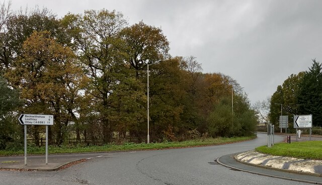
Image: © Mel Towler Taken: 6 Nov 2022
According to the OS benchmark database there is a concrete wall to the south-west of the crossroads with a benchmark. The crossroads has been replaced by a roundabout, and any concrete wall as described has been removed.
Images are licensed for reuse under creativecommons.org/licenses/by-sa/2.0
Image Location
Latitude
53.994737
Longitude
-1.586295