Route 66 community garden
Introduction
The photograph on this page of Route 66 community garden by Christine Johnstone as part of the Geograph project.
The Geograph project started in 2005 with the aim of publishing, organising and preserving representative images for every square kilometre of Great Britain, Ireland and the Isle of Man.

There are currently over 7.5m images from over 14,400 individuals and you can help contribute to the project by visiting https://www.geograph.org.uk
Route 66 community garden
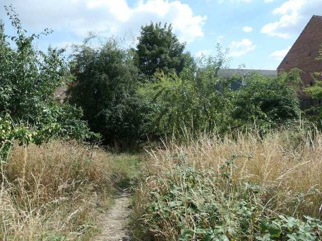
Image: © Christine Johnstone Taken: 6 Aug 2022
Created in 2009 by students from York St John University with local scouts, students from local schools and local community volunteers.
Images are licensed for reuse under creativecommons.org/licenses/by-sa/2.0
Image Location
Latitude
53.972569
Longitude
-1.075333