Orbital cycle route, York
Introduction
The photograph on this page of Orbital cycle route, York by Christine Johnstone as part of the Geograph project.
The Geograph project started in 2005 with the aim of publishing, organising and preserving representative images for every square kilometre of Great Britain, Ireland and the Isle of Man.

There are currently over 7.5m images from over 14,400 individuals and you can help contribute to the project by visiting https://www.geograph.org.uk
Orbital cycle route, York
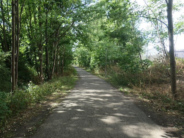
Image: © Christine Johnstone Taken: 6 Aug 2022
Looking west between Haxby Road and Wigginton Road. On the route of the Foss Islands railway branch line, which opened in 1880 and closed in 1989, becoming a Sustrans cycle path in 1992.
Images are licensed for reuse under creativecommons.org/licenses/by-sa/2.0
Image Location
Latitude
53.9734
Longitude
-1.078211