Good Fellow's Field (2)
Introduction
The photograph on this page of Good Fellow's Field (2) by Simon Carey as part of the Geograph project.
The Geograph project started in 2005 with the aim of publishing, organising and preserving representative images for every square kilometre of Great Britain, Ireland and the Isle of Man.

There are currently over 7.5m images from over 14,400 individuals and you can help contribute to the project by visiting https://www.geograph.org.uk
Good Fellow's Field (2)
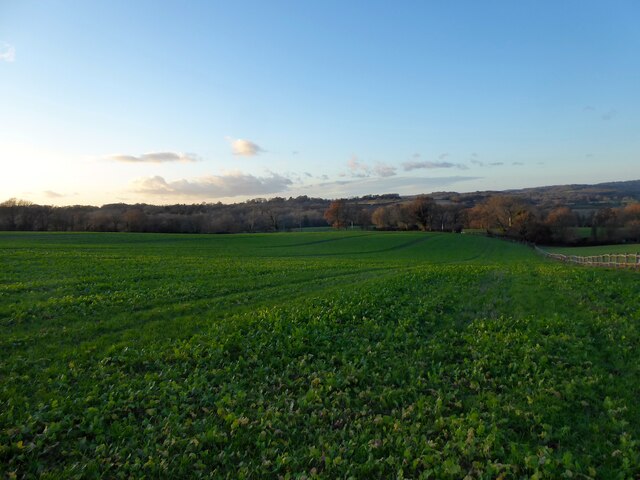
Image: © Simon Carey Taken: 26 Dec 2022
The name of the field according to Burwash's 1839 tithe map. This is the larger southern section that extends down to Spring Lane. See also Image
Images are licensed for reuse under creativecommons.org/licenses/by-sa/2.0
Image Location
Latitude
51.004537
Longitude
0.366761