Waterloo Road, Brighouse
Introduction
The photograph on this page of Waterloo Road, Brighouse by Humphrey Bolton as part of the Geograph project.
The Geograph project started in 2005 with the aim of publishing, organising and preserving representative images for every square kilometre of Great Britain, Ireland and the Isle of Man.

There are currently over 7.5m images from over 14,400 individuals and you can help contribute to the project by visiting https://www.geograph.org.uk
Waterloo Road, Brighouse
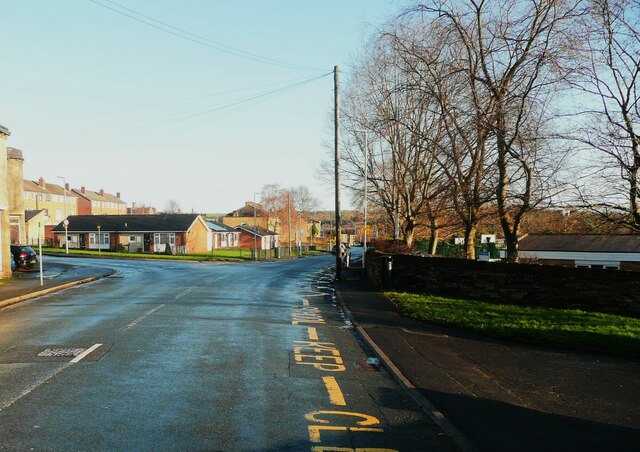
Image: © Humphrey Bolton Taken: 26 Dec 2022
This road might be named after the Battle of Waterloo (1815) but is much older, as Jefferys's map of 1775 shows it as part of a road from Hartshead Moor to Southowram, between Thornhill Bridge Lane and Brighouse Wood Lane. It was called Waterloo Lane on the 1850 six-inch map, and was perhaps renamed 'Road' when it was widened.
Images are licensed for reuse under creativecommons.org/licenses/by-sa/2.0
Image Location
Latitude
53.705489
Longitude
-1.786672