Keward Brook
Introduction
The photograph on this page of Keward Brook by Neil Owen as part of the Geograph project.
The Geograph project started in 2005 with the aim of publishing, organising and preserving representative images for every square kilometre of Great Britain, Ireland and the Isle of Man.

There are currently over 7.5m images from over 14,400 individuals and you can help contribute to the project by visiting https://www.geograph.org.uk
Keward Brook
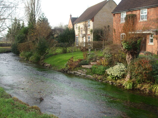
Image: © Neil Owen Taken: 14 Dec 2022
The modern houses are a very recent addition. In the pre-war period the brook ran to Keward House and Mill, of which the latter is now replaced by a small industrial park. However, in the more distant past this spot held a much more serious significance. See Image
Images are licensed for reuse under creativecommons.org/licenses/by-sa/2.0
Image Location
Latitude
51.201272
Longitude
-2.659486