Bechan Brook, looking down stream, Bettws Cedewain
Introduction
The photograph on this page of Bechan Brook, looking down stream, Bettws Cedewain by Penny Mayes as part of the Geograph project.
The Geograph project started in 2005 with the aim of publishing, organising and preserving representative images for every square kilometre of Great Britain, Ireland and the Isle of Man.

There are currently over 7.5m images from over 14,400 individuals and you can help contribute to the project by visiting https://www.geograph.org.uk
Bechan Brook, looking down stream, Bettws Cedewain
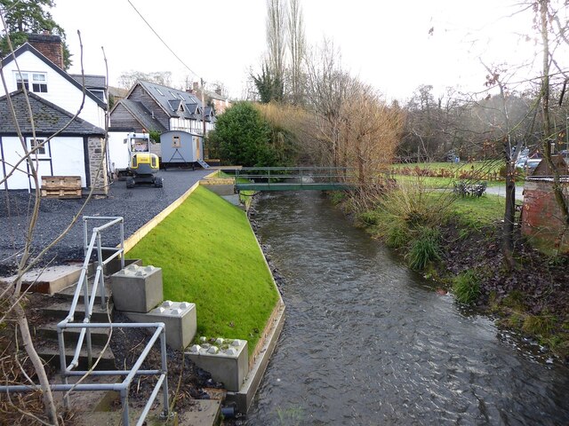
Image: © Penny Mayes Taken: 25 Dec 2022
Taken from the road bridge shortly after noon on Christmas Day. Things have changed since I first took a similar shot, shortly after the flood of July 2007 https://www.geograph.org.uk/photo/504818. It's not all down to summer foliage.
Images are licensed for reuse under creativecommons.org/licenses/by-sa/2.0
Image Location
Latitude
52.561571
Longitude
-3.295895