Barn conversion at Garmston Smithy
Introduction
The photograph on this page of Barn conversion at Garmston Smithy by Andrew Abbott as part of the Geograph project.
The Geograph project started in 2005 with the aim of publishing, organising and preserving representative images for every square kilometre of Great Britain, Ireland and the Isle of Man.

There are currently over 7.5m images from over 14,400 individuals and you can help contribute to the project by visiting https://www.geograph.org.uk
Barn conversion at Garmston Smithy
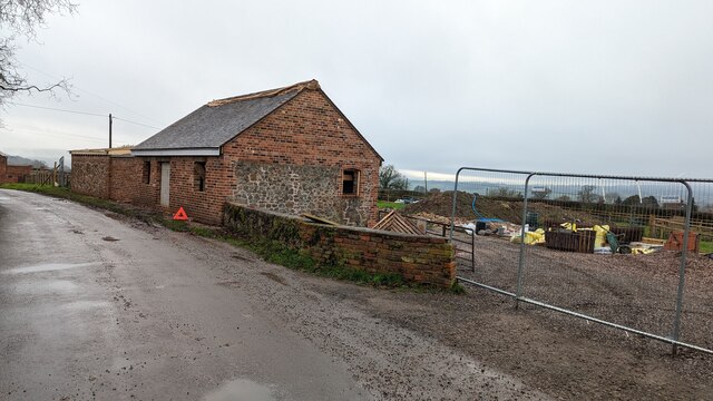
Image: © Andrew Abbott Taken: 22 Dec 2022
Planning permission was recently granted to convert this into a residential building. There is some evidence to indicate the smaller building was a later addition to the Site based on historical maps. Tithe maps dating from 1846 show that the Smithy and the pictured barn were both in the ownership of the Duke of Cleveland and occupied by Samuel Edge.
Images are licensed for reuse under creativecommons.org/licenses/by-sa/2.0
Image Location
Latitude
52.653096
Longitude
-2.580308