Stanton Long House
Introduction
The photograph on this page of Stanton Long House by Fabian Musto as part of the Geograph project.
The Geograph project started in 2005 with the aim of publishing, organising and preserving representative images for every square kilometre of Great Britain, Ireland and the Isle of Man.

There are currently over 7.5m images from over 14,400 individuals and you can help contribute to the project by visiting https://www.geograph.org.uk
Stanton Long House
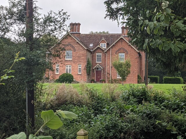
Image: © Fabian Musto Taken: 2 Sep 2021
South of Glebe Farm is Stanton Long House, a grand Victorian building from the nineteenth century that is north-east from the parish church. Taken by the exterior of the east-end window at that church.
Images are licensed for reuse under creativecommons.org/licenses/by-sa/2.0
Image Location
Latitude
52.512501
Longitude
-2.6315