A walk around the east bank of the River Wye [59]
Introduction
The photograph on this page of A walk around the east bank of the River Wye [59] by Michael Dibb as part of the Geograph project.
The Geograph project started in 2005 with the aim of publishing, organising and preserving representative images for every square kilometre of Great Britain, Ireland and the Isle of Man.

There are currently over 7.5m images from over 14,400 individuals and you can help contribute to the project by visiting https://www.geograph.org.uk
A walk around the east bank of the River Wye [59]
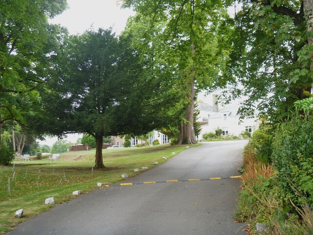
Image: © Michael Dibb Taken: 3 Sep 2022
A glimpse of Dean Close, St John's - a co-educational school for children aged 3 to 13. Formerly St John's on the hill School and formerly St John's College. The core building is a country house, once known as Tutshill House. The house was built, probably, in 1806 of rendered brick, lined to simulate ashlar under a roof partly of stone slate and partly of Welsh slate. Many original features and fittings remain. Listed, grade II, with details at: https://historicengland.org.uk/listing/the-list/list-entry/1100283 The walk leaves Chepstow, crosses the River Wye, and ascends through Tutshill, following the long distance Offa’s Dyke Path. A diversion down the Lancaut Walk is taken before returning to rejoin Offa’s Dyke Path to Wintour’s Leap. After crossing Coleford Road, B4228, footpaths and roads are taken through Woodcroft and Tutshill to recross the river and return to the starting point. About 5 miles.
Images are licensed for reuse under creativecommons.org/licenses/by-sa/2.0
Image Location
Latitude
51.6479
Longitude
-2.668999