Mill Road South, Charminster, Bournemouth
Introduction
The photograph on this page of Mill Road South, Charminster, Bournemouth by Malc McDonald as part of the Geograph project.
The Geograph project started in 2005 with the aim of publishing, organising and preserving representative images for every square kilometre of Great Britain, Ireland and the Isle of Man.

There are currently over 7.5m images from over 14,400 individuals and you can help contribute to the project by visiting https://www.geograph.org.uk
Mill Road South, Charminster, Bournemouth
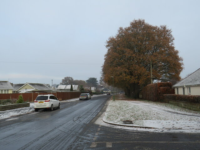
Image: © Malc McDonald Taken: 11 Dec 2022
Mill Road South is a residential road in Bournemouth's northern suburbs. This image was taken on a very cold December day. The tree to the right was still shedding its leaves, which were an autumnal shade of golden brown, contrasting with the light dusting of snow which had fallen overnight and still lay on the ground.
Images are licensed for reuse under creativecommons.org/licenses/by-sa/2.0
Image Location
Latitude
50.752076
Longitude
-1.851674