Pitt Street
Introduction
The photograph on this page of Pitt Street by Richard Sutcliffe as part of the Geograph project.
The Geograph project started in 2005 with the aim of publishing, organising and preserving representative images for every square kilometre of Great Britain, Ireland and the Isle of Man.

There are currently over 7.5m images from over 14,400 individuals and you can help contribute to the project by visiting https://www.geograph.org.uk
Pitt Street
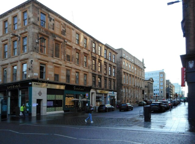
Image: © Richard Sutcliffe Taken: 9 Dec 2022
Seen from Sauchiehall Street. The tenement block on the left and extending along Sauchiehall Street dates from 1845 and is Category B listed http://portal.historicenvironment.scot/designation/LB33176. The next block is also early Victorian and it too is Category B listed http://portal.historicenvironment.scot/designation/LB32968. Beyond these is the Adelaide Place Baptist Church, dating from 1877 and also Category B listed http://portal.historicenvironment.scot/designation/LB33097.
Images are licensed for reuse under creativecommons.org/licenses/by-sa/2.0
Image Location
Latitude
55.865223
Longitude
-4.264737