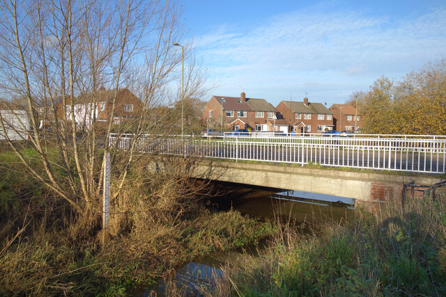
Gauge Board by the Cove Brook
Introduction
The photograph on this page of Gauge Board by the Cove Brook by Des Blenkinsopp as part of the Geograph project.
The Geograph project started in 2005 with the aim of publishing, organising and preserving representative images for every square kilometre of Great Britain, Ireland and the Isle of Man.
There are currently over 7.5m images from over 14,400 individuals and you can help contribute to the project by visiting https://www.geograph.org.uk

Image: © Des Blenkinsopp Taken: 7 Dec 2022
The Cove Brook at Mayfield Road. Seen here at a low flow, the gauge board is more or less unreadable through the mud and weeds, but there is 2.5 metres of board above that. It would be a severe event if levels reached the top, but it's a reminder of what some of these little streams can do. It's worth noting that the nearest houses are some way back from the brook.

