Chepstow houses [69]
Introduction
The photograph on this page of Chepstow houses [69] by Michael Dibb as part of the Geograph project.
The Geograph project started in 2005 with the aim of publishing, organising and preserving representative images for every square kilometre of Great Britain, Ireland and the Isle of Man.

There are currently over 7.5m images from over 14,400 individuals and you can help contribute to the project by visiting https://www.geograph.org.uk
Chepstow houses [69]
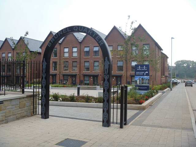
Image: © Michael Dibb Taken: 3 Sep 2022
The Brunel Quarter development is of 345 houses on an area of approximately 50 acres (20 hectares) and comprises the former Mabey Bridge engineering works, including many industrial buildings, the former shipyard made up of four slipways, the former Beaufort Quarry, Brunel House and an industrial area at the far north of the site. The site is between the railway lines and the River Wye. Chepstow, the most easterly town in Wales, is located on the tidal River Wye, some 3 miles above its confluence with the River Severn. There is evidence of continuous human occupation from the Mesolithic period. The town grew in importance when the Normans erected a castle at what was the lowest bridging point of the River Wye. The town flourished as a port, being exempt from English taxation, and it mainly traded in timber and bark from the Wye Valley. The town became an important centre for tourism from the late eighteenth century.
Images are licensed for reuse under creativecommons.org/licenses/by-sa/2.0
Image Location
Latitude
51.640548
Longitude
-2.670032