Gamlingay crossroads
Introduction
The photograph on this page of Gamlingay crossroads by John Sutton as part of the Geograph project.
The Geograph project started in 2005 with the aim of publishing, organising and preserving representative images for every square kilometre of Great Britain, Ireland and the Isle of Man.

There are currently over 7.5m images from over 14,400 individuals and you can help contribute to the project by visiting https://www.geograph.org.uk
Gamlingay crossroads
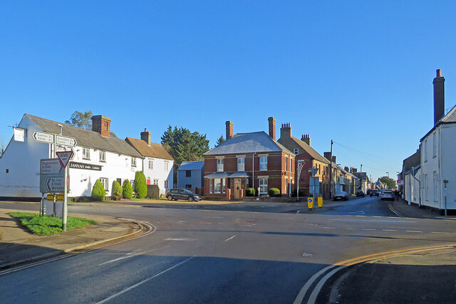
Image: © John Sutton Taken: 8 Dec 2022
The crossroads in the centre of this large village on the edge of Cambridgeshire: Waresley and St Ives to the left, Biggleswade and Potton to the right, the Gransdens, Caxton and Cambridge ahead along Church Street. The road behind the camera leads to Everton and Sandy.
Images are licensed for reuse under creativecommons.org/licenses/by-sa/2.0
Image Location
Latitude
52.155573
Longitude
-0.192803