Gamlingay: a stinkpipe on Green End
Introduction
The photograph on this page of Gamlingay: a stinkpipe on Green End by John Sutton as part of the Geograph project.
The Geograph project started in 2005 with the aim of publishing, organising and preserving representative images for every square kilometre of Great Britain, Ireland and the Isle of Man.

There are currently over 7.5m images from over 14,400 individuals and you can help contribute to the project by visiting https://www.geograph.org.uk
Gamlingay: a stinkpipe on Green End
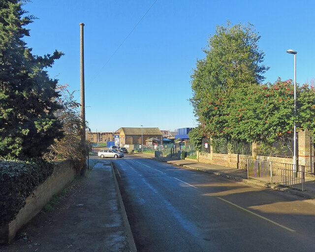
Image: © John Sutton Taken: 8 Dec 2022
The sewer vent pipe on the left is the concrete-cased type found in a number of Cambridgeshire villages. In the middle distance in the centre of the picture is a former Methodist Chapel, built in the 1850s, which now houses a pre-school.
Images are licensed for reuse under creativecommons.org/licenses/by-sa/2.0
Image Location
Latitude
52.155605
Longitude
-0.194849