A view of Parc Derwen, Bridgend
Introduction
The photograph on this page of A view of Parc Derwen, Bridgend by eswales as part of the Geograph project.
The Geograph project started in 2005 with the aim of publishing, organising and preserving representative images for every square kilometre of Great Britain, Ireland and the Isle of Man.

There are currently over 7.5m images from over 14,400 individuals and you can help contribute to the project by visiting https://www.geograph.org.uk
A view of Parc Derwen, Bridgend
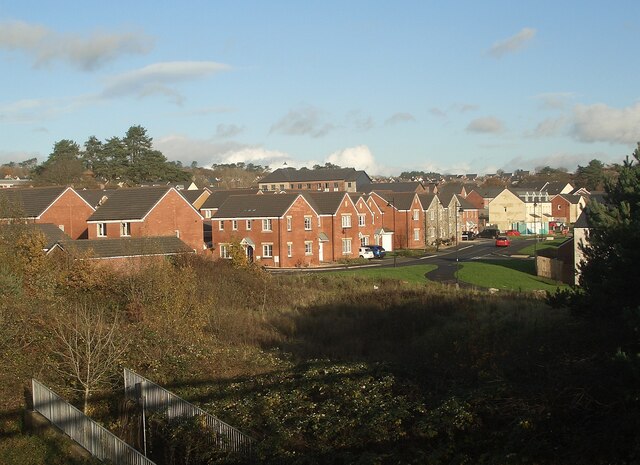
Image: © eswales Taken: 28 Nov 2022
A recently built residential district of Bridgend situated just to the east of Litchard. For an idea of how the area looked before it was built up see Image
Images are licensed for reuse under creativecommons.org/licenses/by-sa/2.0
Image Location
Latitude
51.523548
Longitude
-3.567617