Byway south of St Anne's Academy
Introduction
The photograph on this page of Byway south of St Anne's Academy by Kevin Waterhouse as part of the Geograph project.
The Geograph project started in 2005 with the aim of publishing, organising and preserving representative images for every square kilometre of Great Britain, Ireland and the Isle of Man.

There are currently over 7.5m images from over 14,400 individuals and you can help contribute to the project by visiting https://www.geograph.org.uk
Byway south of St Anne's Academy
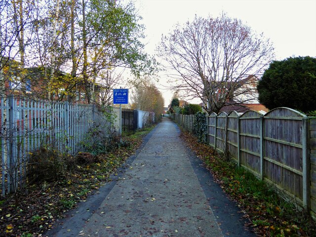
Image: © Kevin Waterhouse Taken: 3 Dec 2022
This route leads to the former Hopwood Hall estate
Images are licensed for reuse under creativecommons.org/licenses/by-sa/2.0
Image Location
Latitude
53.566281
Longitude
-2.201378