Rough grazing at Bridge End
Introduction
The photograph on this page of Rough grazing at Bridge End by Trevor Littlewood as part of the Geograph project.
The Geograph project started in 2005 with the aim of publishing, organising and preserving representative images for every square kilometre of Great Britain, Ireland and the Isle of Man.

There are currently over 7.5m images from over 14,400 individuals and you can help contribute to the project by visiting https://www.geograph.org.uk
Rough grazing at Bridge End
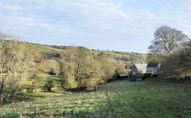
Image: © Trevor Littlewood Taken: 7 Dec 2022
The enclosure is at Bridge End, south of Frosterley Bridge. Frosterley's primary school is in view - the pale roof right of centre in the image. Buildings in Frosterley itself can be seen in the distance beyond the school building; the church is prominent.
Images are licensed for reuse under creativecommons.org/licenses/by-sa/2.0
Image Location
Latitude
54.7234
Longitude
-1.968762