Flodden Road
Introduction
The photograph on this page of Flodden Road by John Baker as part of the Geograph project.
The Geograph project started in 2005 with the aim of publishing, organising and preserving representative images for every square kilometre of Great Britain, Ireland and the Isle of Man.

There are currently over 7.5m images from over 14,400 individuals and you can help contribute to the project by visiting https://www.geograph.org.uk
Flodden Road
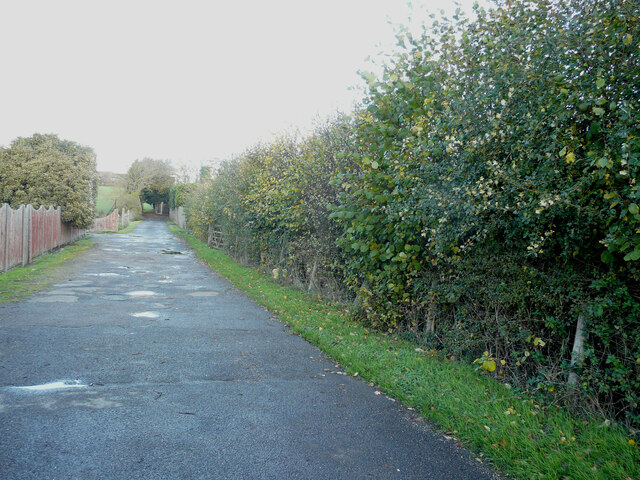
Image: © John Baker Taken: 20 Nov 2022
Planning permission has been approved by Dover District Council under application number DOV/22/00170 for an “outline application for a self-build project for a low impact 3 to 4 bedroom dwelling, using sustainable design and construction methods (with all matters reserved)”. The wooden gate, opposite the puddle, will form the means of access to the site. Whether the height of the hedge will be reduced remains uncertain.
Images are licensed for reuse under creativecommons.org/licenses/by-sa/2.0
Image Location
Latitude
51.207232
Longitude
1.375142