Sandyford Brook
Introduction
The photograph on this page of Sandyford Brook by Jonathan Hutchins as part of the Geograph project.
The Geograph project started in 2005 with the aim of publishing, organising and preserving representative images for every square kilometre of Great Britain, Ireland and the Isle of Man.

There are currently over 7.5m images from over 14,400 individuals and you can help contribute to the project by visiting https://www.geograph.org.uk
Sandyford Brook
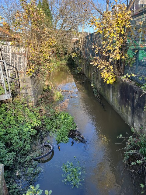
Image: © Jonathan Hutchins Taken: 25 Nov 2022
Complete with any urban stream's mandatory accessory, a discarded bicycle.
Images are licensed for reuse under creativecommons.org/licenses/by-sa/2.0
Image Location
Latitude
52.814835
Longitude
-2.116132