Uphill and west on Millers Road, Warwick
Introduction
The photograph on this page of Uphill and west on Millers Road, Warwick by Robin Stott as part of the Geograph project.
The Geograph project started in 2005 with the aim of publishing, organising and preserving representative images for every square kilometre of Great Britain, Ireland and the Isle of Man.

There are currently over 7.5m images from over 14,400 individuals and you can help contribute to the project by visiting https://www.geograph.org.uk
Uphill and west on Millers Road, Warwick
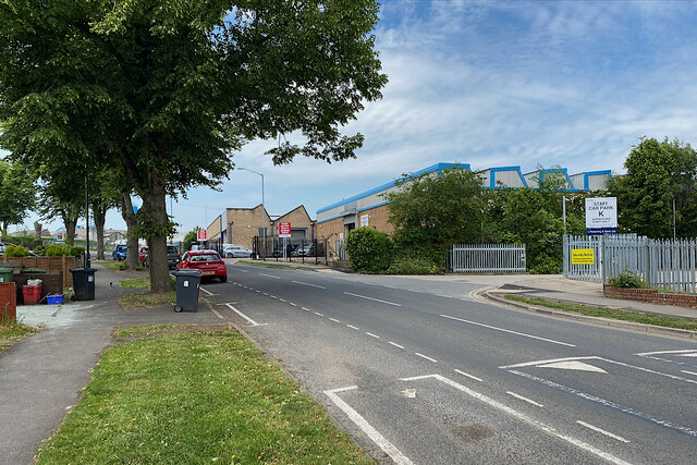
Image: © Robin Stott Taken: 3 Jun 2022
Ahead is Warwick Hospital's drive-in swabbing service Image On the right is the entry to a staff car park.
Images are licensed for reuse under creativecommons.org/licenses/by-sa/2.0
Image Location


Leaflet Map data © OpenStreetMap
Latitude
52.290705
Longitude
-1.590759