Old Milestone, Common Hill, Cricklade
Introduction
The photograph on this page of Old Milestone, Common Hill, Cricklade by Tom Blanden as part of the Geograph project.
The Geograph project started in 2005 with the aim of publishing, organising and preserving representative images for every square kilometre of Great Britain, Ireland and the Isle of Man.

There are currently over 7.5m images from over 14,400 individuals and you can help contribute to the project by visiting https://www.geograph.org.uk
Old Milestone, Common Hill, Cricklade
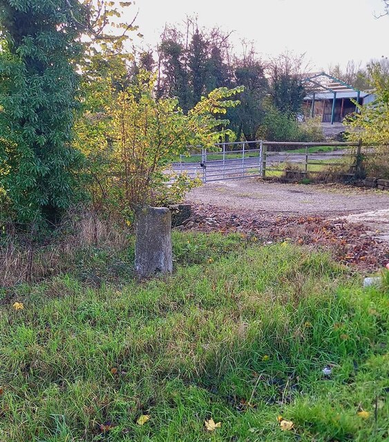
Image: © Tom Blanden Taken: 29 Nov 2022
On the SE verge of the B4040 by the farm gate. First erected by the Faringdon to Acton Turville Turnpike Trust. Inscription (was) Cricklade 1 / Malmesbury 11 Milestone Society National ID: WI_MYCK11
Images are licensed for reuse under creativecommons.org/licenses/by-sa/2.0
Image Location
Latitude
51.640332
Longitude
-1.871573