Data Connection building, Church Street, Enfield
Introduction
The photograph on this page of Data Connection building, Church Street, Enfield by Christine Matthews as part of the Geograph project.
The Geograph project started in 2005 with the aim of publishing, organising and preserving representative images for every square kilometre of Great Britain, Ireland and the Isle of Man.

There are currently over 7.5m images from over 14,400 individuals and you can help contribute to the project by visiting https://www.geograph.org.uk
Data Connection building, Church Street, Enfield
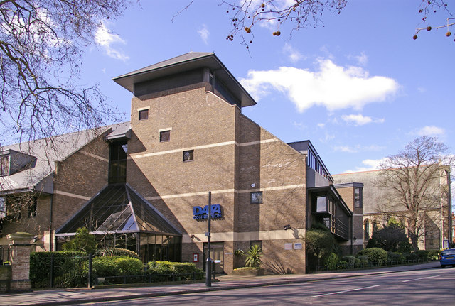
Image: © Christine Matthews Taken: 21 Mar 2008
The Data Connection building is next to the New River Loop. The St Paul's Centre is to the right of the Data Connection building, just in this photograph.
Images are licensed for reuse under creativecommons.org/licenses/by-sa/2.0
Image Location
Latitude
51.652617
Longitude
-0.088121