Ford's Avenue Entrance, St Ann's Allotments
Introduction
The photograph on this page of Ford's Avenue Entrance, St Ann's Allotments by Alan Murray-Rust as part of the Geograph project.
The Geograph project started in 2005 with the aim of publishing, organising and preserving representative images for every square kilometre of Great Britain, Ireland and the Isle of Man.

There are currently over 7.5m images from over 14,400 individuals and you can help contribute to the project by visiting https://www.geograph.org.uk
Ford's Avenue Entrance, St Ann's Allotments
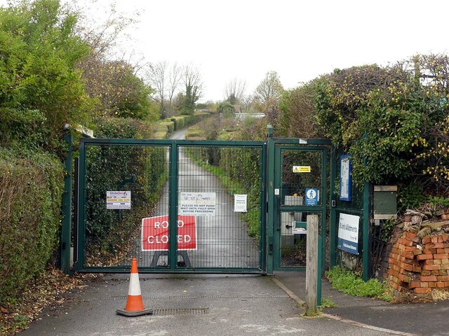
Image: © Alan Murray-Rust Taken: 27 Nov 2022
The allotments incorporate Hunger Hill, Stonepit Coppice and Gorseyclose Gardens, together comprising some 700 plots. Together they form a Grade II* Listed Garden https://historicengland.org.uk/listing/the-list/list-entry/1001479?section=official-list-entry , the reason being that their history goes back as far as the early 17th century. Most such partitioned garden areas disappeared with the expansion of urban areas in the 19th century, and the gardens are considered important both for their history and the extent of the remaining area.
Images are licensed for reuse under creativecommons.org/licenses/by-sa/2.0
Image Location
Latitude
52.965904
Longitude
-1.133727