The dry dock above Middlewich Middle Lock
Introduction
The photograph on this page of The dry dock above Middlewich Middle Lock by Stephen Craven as part of the Geograph project.
The Geograph project started in 2005 with the aim of publishing, organising and preserving representative images for every square kilometre of Great Britain, Ireland and the Isle of Man.

There are currently over 7.5m images from over 14,400 individuals and you can help contribute to the project by visiting https://www.geograph.org.uk
The dry dock above Middlewich Middle Lock
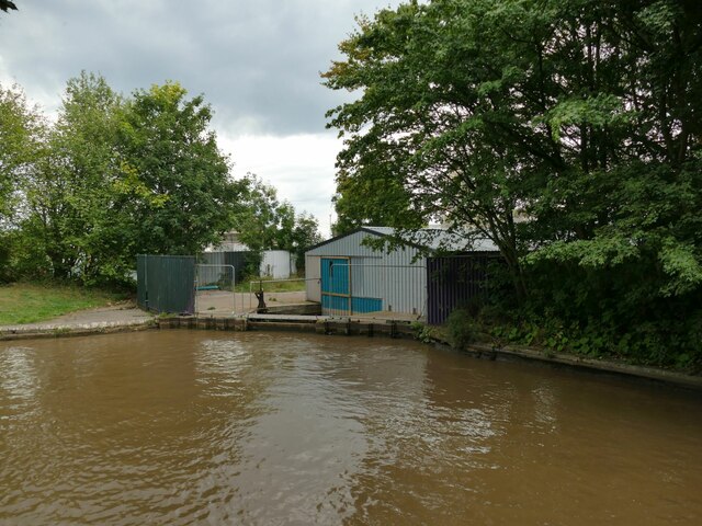
Image: © Stephen Craven Taken: 28 Aug 2022
For a view inside on an earlier occasion, see Image The Herras fencing suggests it may now be disused. The dock is covered by the grade II listing of the locks.
Images are licensed for reuse under creativecommons.org/licenses/by-sa/2.0
Image Location
Latitude
53.190368
Longitude
-2.438923