Bardsey Island
Introduction
The photograph on this page of Bardsey Island by Michael Earnshaw as part of the Geograph project.
The Geograph project started in 2005 with the aim of publishing, organising and preserving representative images for every square kilometre of Great Britain, Ireland and the Isle of Man.

There are currently over 7.5m images from over 14,400 individuals and you can help contribute to the project by visiting https://www.geograph.org.uk
Bardsey Island
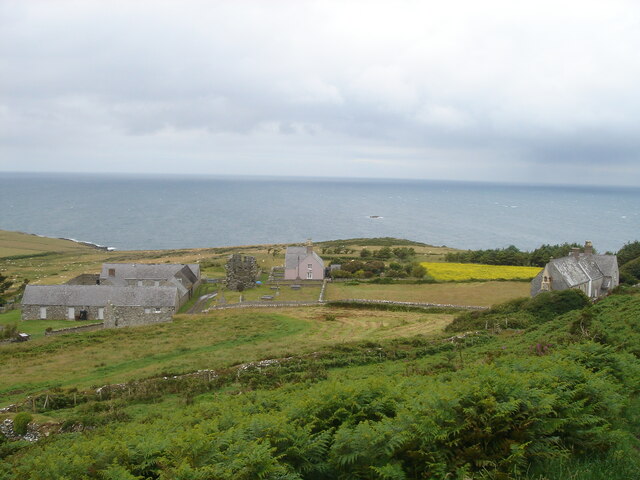
Image: © Michael Earnshaw Taken: 11 Jul 2008
The small settlement on Bardsey Island (Ynys Enlli), with the ruins of the abbey in the centre, and the more recent chapel to the right. The skerry out at sea is Maen Iau (sorry, but I can't translate that!).
Images are licensed for reuse under creativecommons.org/licenses/by-sa/2.0
Image Location
Latitude
52.763695
Longitude
-4.787819