Teifi foreshore looking towards the Pinog
Introduction
The photograph on this page of Teifi foreshore looking towards the Pinog by Natasha Ceridwen de Chroustchoff as part of the Geograph project.
The Geograph project started in 2005 with the aim of publishing, organising and preserving representative images for every square kilometre of Great Britain, Ireland and the Isle of Man.

There are currently over 7.5m images from over 14,400 individuals and you can help contribute to the project by visiting https://www.geograph.org.uk
Teifi foreshore looking towards the Pinog
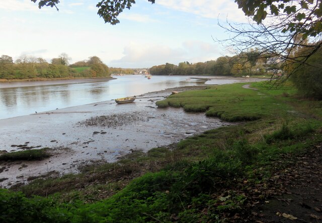
Image: © Natasha Ceridwen de Chroustchoff Taken: 9 Nov 2022
The Pinog was once the area where ships were built, berthed and maintained with local owners having individual moorings. It remains a designated village green where small craft are beached or tied up.
Images are licensed for reuse under creativecommons.org/licenses/by-sa/2.0
Image Location


Leaflet Map data © OpenStreetMap
Latitude
52.082067
Longitude
-4.678263