Sheep pasture, Weston-Sub-Edge
Introduction
The photograph on this page of Sheep pasture, Weston-Sub-Edge by Derek Harper as part of the Geograph project.
The Geograph project started in 2005 with the aim of publishing, organising and preserving representative images for every square kilometre of Great Britain, Ireland and the Isle of Man.

There are currently over 7.5m images from over 14,400 individuals and you can help contribute to the project by visiting https://www.geograph.org.uk
Sheep pasture, Weston-Sub-Edge
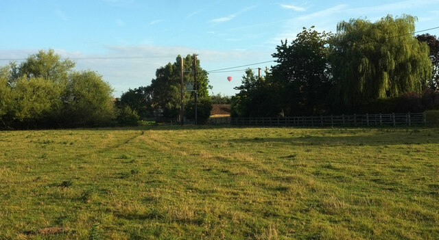
Image: © Derek Harper Taken: 16 Sep 2021
Showing the northern corner of the moated site also shown in https://www.geograph.org.uk/search.php?i=169851922 , so what you see does not form part of the scheduled monument. The hot air balloon is above an outbuilding at Dover's Cottage.
Images are licensed for reuse under creativecommons.org/licenses/by-sa/2.0
Image Location
Latitude
52.06462
Longitude
-1.815281