Old Milestone, Minety
Introduction
The photograph on this page of Old Milestone, Minety by Tom Blanden as part of the Geograph project.
The Geograph project started in 2005 with the aim of publishing, organising and preserving representative images for every square kilometre of Great Britain, Ireland and the Isle of Man.

There are currently over 7.5m images from over 14,400 individuals and you can help contribute to the project by visiting https://www.geograph.org.uk
Old Milestone, Minety
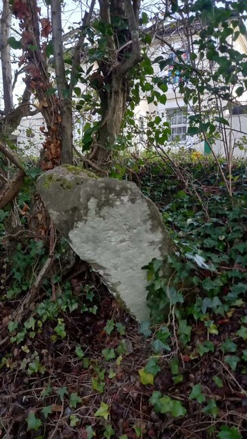
Image: © Tom Blanden Taken: 23 Nov 2022
Opposite the White Inn pub, falling down the bank. Originally erected by the Faringdon to Acton Turville Turnpike Trust, but undoubtedly moved with the road when the railway was built and the road kinked to go over the tracks. Inscription: To / Malmesbury / 7 / Miles // To / Cricklade / 5 / Miles Milestone Society ID: WI_MYCK07
Images are licensed for reuse under creativecommons.org/licenses/by-sa/2.0
Image Location
Latitude
51.614003
Longitude
-1.951773