Watford
Introduction
The photograph on this page of Watford by Peter Trimming as part of the Geograph project.
The Geograph project started in 2005 with the aim of publishing, organising and preserving representative images for every square kilometre of Great Britain, Ireland and the Isle of Man.

There are currently over 7.5m images from over 14,400 individuals and you can help contribute to the project by visiting https://www.geograph.org.uk
Watford
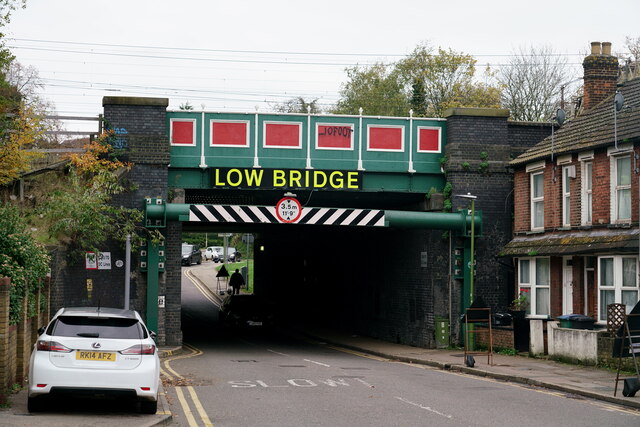
Image: © Peter Trimming Taken: 19 Nov 2022
The railway bridge across Orphanage Road. The railway is the main line from Euston. The height limit has been lowered since 2012.
Images are licensed for reuse under creativecommons.org/licenses/by-sa/2.0
Image Location
Latitude
51.661601
Longitude
-0.393693