A view of the old Congregational
Introduction
The photograph on this page of A view of the old Congregational by Neil Owen as part of the Geograph project.
The Geograph project started in 2005 with the aim of publishing, organising and preserving representative images for every square kilometre of Great Britain, Ireland and the Isle of Man.

There are currently over 7.5m images from over 14,400 individuals and you can help contribute to the project by visiting https://www.geograph.org.uk
A view of the old Congregational
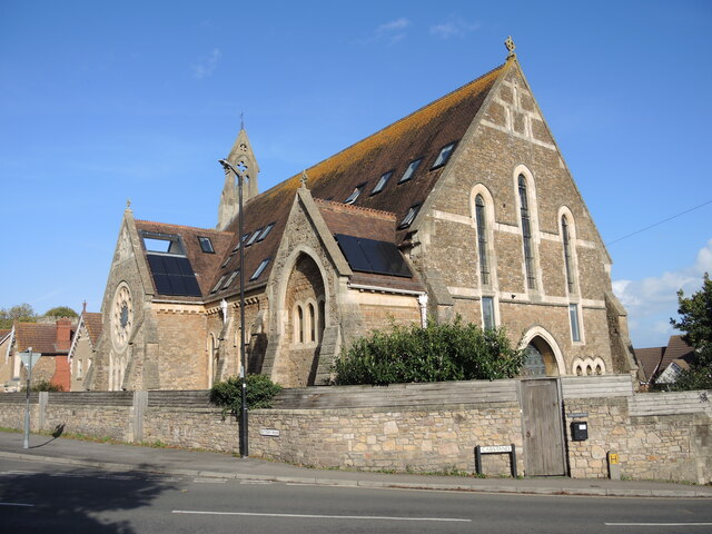
Image: © Neil Owen Taken: 26 Oct 2022
A large and impressive church was built at the top of Cabstand in 1887. It served the Union Congregational movement until it was part of the United Reformed Church, finally closing its doors in 2012 and becoming a residential property. Note the many solar panels and the open top of the roofspace over the circular window.
Images are licensed for reuse under creativecommons.org/licenses/by-sa/2.0
Image Location
Latitude
51.48681
Longitude
-2.769743